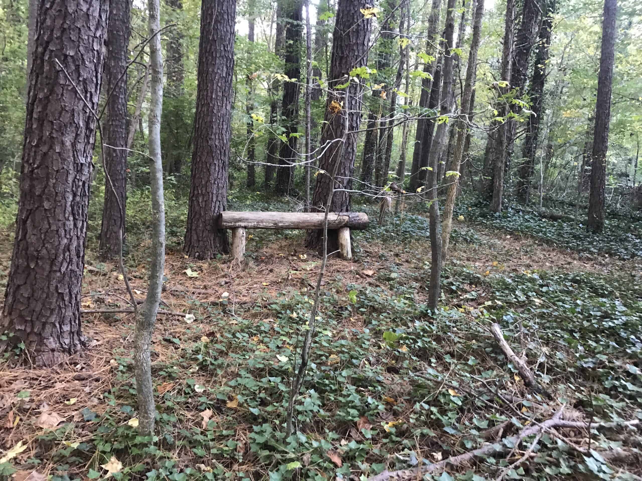
RICHMOND, VA – The first Virginia Coastal Resilience Master Plan, released this month, reinforces the urgent need to protect land for flood resiliency across Virginia’s Capital Region. On December 20, Capital Region Land Conservancy recorded a conservation easement on 1.33 acres owned by resident Victor Bucklew. The undeveloped property along East Weyburn Road and Rattlesnake Creek in South Richmond will remain forested so that it continues to act as a natural area for habitat and filtration of stormwater.
 Importantly, the property falls within the Floodplain & Flooding Resiliency category of ConserveVirginia v3.0. ConserveVirginia is a scientific model developed by the Virginia Department of Conservation and Recreation to identify priority conservation areas that account for the top 10 percent of land in Virginia to be protected. Protecting floodplains provides a buffer against fast moving flood water, absorbs and stores excess runoff, and filters pollutants from our water resources. As a result, protected floodplains reduce flood damage and cleanup costs and helps the state be more resilient to its most common and costly disaster.
The easement requires a 100-foot riparian buffer along Rattlesnake Creek, a tributary to the James River. Such green infrastructure will help to improve water quality in the local watershed and contribute to the overall health of the Chesapeake Bay watershed.
Heavily wooded with pine, cedar, and oak, this property provides climate-resilient habitat for species such as owls, herons, migratory birds, deer, and foxes. The Bucklew property also fosters an important forested freshwater wetland, that includes remnant vegetated populations of Lizard’s tail (Saururus cernuus), Royal Fern (Osmunda spectabilis), Virginia Chain Fern (Anchistea virginica), Sensitive Fern (Onoclea sensibilis), and Netted Chain Fern (Lorinseria areolate). Stewardship requirements outlined in the easement and other agreements will help maintain native plants for local wildlife habitat and begin to restore areas where invasive species have established.

“This wetland is unique in that it is an isolated wetland system fed by a seep. Isolated wetlands host amphibian breeding habitat for various salamanders, frogs, toads, red-spotted newts, and potentially Richmond’s native spotted salamander,” according to Ashley Moulton, CRLC Land Stewardship Specialist. “Without a conservation easement, this habitat would otherwise be unprotected from development for it lies outside of the Riparian Protection Area.”
“Our intention for this land is to oversee its health, and to do what we can to improve its ecosystems. We believe that the forest, animals, waterways, and soil on this land have a right to flourish and evolve naturally, without pollution or development. It is our hope that this land will increasingly thrive long-term with this conservation easement, and that it will remain protected well beyond our lifetimes when these parcels of earth will continue to foster life” said landowners Victor Bucklew and Chelsea Muth.
As part of the due diligence process to review title and pertinent utility and right-of-way easements and any restrictive covenants, a 1950 document was found to include racist, redlining practices. Specifically, the now unenforceable covenant restricted the sale, lease, conveyance, disposition, and occupation of the property by “any person not of the Caucasian race, or any body politic or corporate composed of or controlled by persons not of the Caucasian race.” This information is included to raise awareness of how such recent history has shaped the environmental landscape and the need to do more for environmental justice matters such as urban heat islands and equitable access to parks an open space.

Under the City of Richmond’s officially adopted comprehensive plan Richmond 300, the City set the goal of placing an additional 100 acres under conservation easement. Thanks to this easement, Richmond has one more acre of protected lands in the books. While this property does not have public access, it may someday contribute to a network of connected wildlife corridors along Rattlesnake Creek and elsewhere across the City.

