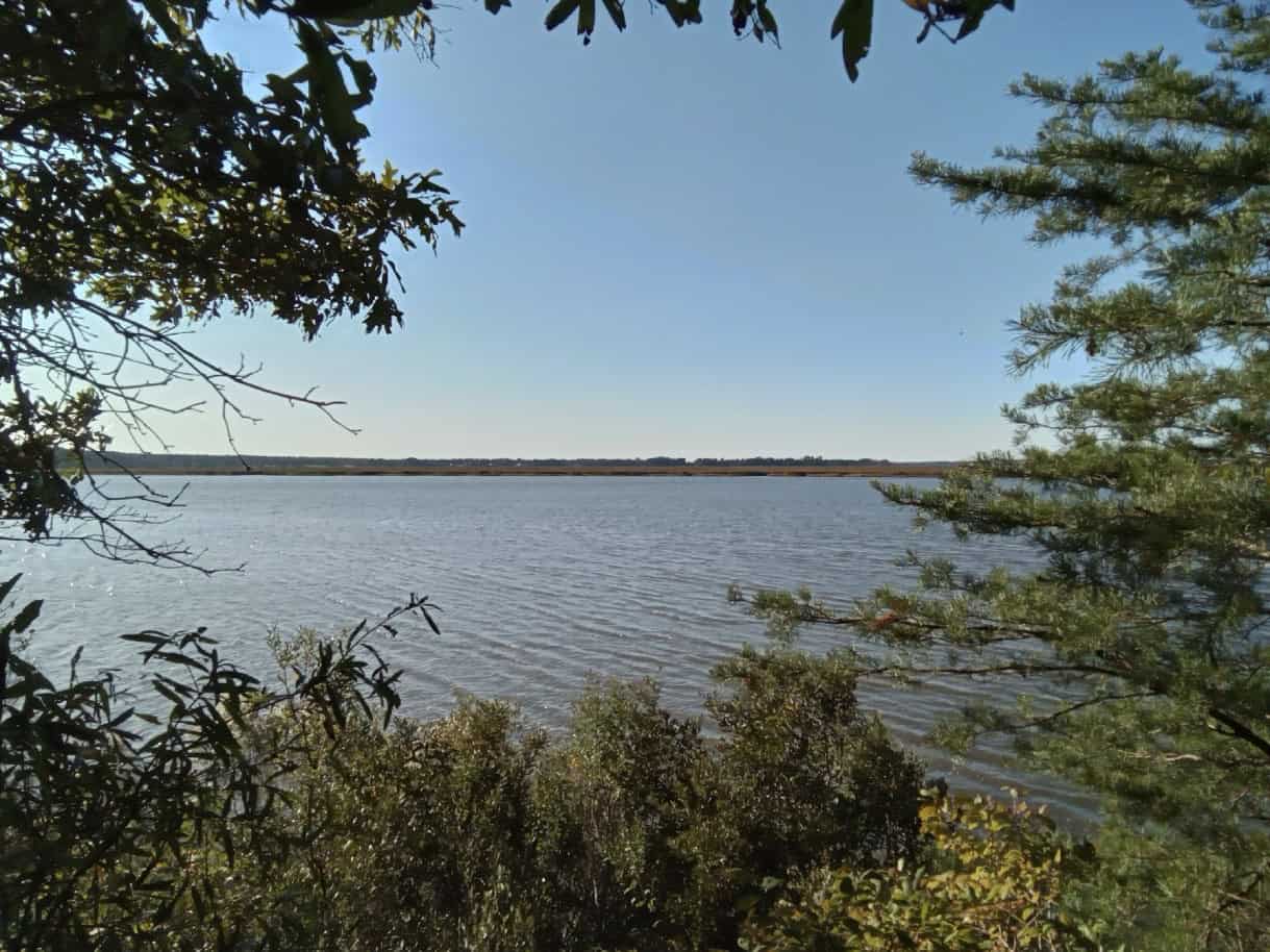
New Kent County, VA – With perseverance and a strong conservation ethic, Louis Savage has protected 310 acres along the Pamunkey River at Eltham Farm. Mr. Savage spent much of his childhood roaming the woods and fields of the family land that was acquired by his grandfather in the 1930s. In 2003, Mr. Savage acquired the property with his mother from his grandmother, and upon his mother’s passing, he promised himself to care for it just as earlier generations had. Mr. Savage resolved to protect the land. After attending an educational outreach event hosted by Capital Region Land Conservancy (CRLC), he worked to achieve this goal and in November recorded a perpetual conservation easement that will preserve the property for farming and forestry forever.
In response to having achieved his goal, Mr. Savage said, “it was a pleasure working with the team at CRLC and all the other people who helped to get this done. I am a long believer that we all need a greater land ethic in Virginia because what I’ve seen where I grew up in Henrico is alarming and New Kent is not far behind.”
Located two miles west of West Point, where the confluence of the Pamunkey and Mattaponi Rivers form the York River, the property contains over 1/3 of a mile of riverfront with forested bluffs overlooking the river with iconic views of tidal marshes to the north. Lying in the Coastal Plain, Eltham Farm consists mostly of flat land with low-lying wet areas throughout. Farming on the property’s 20 acres of fields, and forestry on the remaining 290 acres, have been long-time practices. Much of the land is comprised of mature loblolly pine forest with about 25 acres planted in long leaf pine, a species of particular interest to Mr. Savage.
The Pamunkey River, one of the major river tributaries of the Chesapeake Bay, has been used for travel, commerce, cultural activities, and sustenance for thousands of years. Protection of this aquatic and cultural resource for all its many uses is one of CRLC’s focus area. This stretch of river is part of the Captain John Smith Chesapeake National Historic Trail and the Pamunkey River Water Trail, as designated by the Virginia Department of Conservation and Recreation’s (DCR) Virginia Outdoors Plan Mapper.
It is believed that prior to the land patent granted to William Bassett (1630-1671) in 1647, which became the plantation known as “Eltham” named for the Bassett home in England, it was the site of the important Indian Village and one of Powhatan’s chieftains known as “Matchcot.” It was at Matchcot that the then captive Pocahontas was visited by her brothers and reported to be well and intended to marry John Rolfe thus diffusing a clash between the Virginia Indians and English colonialists.
According to the American Battlefield Protection Program administered by the National Park Service, Eltham Farm also falls within the study area for the Battle of Eltham’s Landing that occurred near the property on May 7, 1862.
“Conserving Eltham Farm allows this special place to continue to tell its story to future generations while also providing land for wildlife habitat and foraging, forested buffers to filter rainwater, soils to grow food, and trees to produce forest products.” said Parker Agelasto, Executive Director of Capital Region Land Conservancy.
Many communities throughout Virginia, especially New Kent County, are facing increasing development pressures. The conservation easement limits future divisions of the property and restricts its uses thus ensuring Eltham Farm will continue to provide all of the ecological benefits it does today, and into the future. For example, much of the property is mapped to have “High” ecological integrity as identified by the DCR’s Virginia Natural Landscape Assessment Model. A score of “High” means the property contributes to ecosystem services such as wildlife and plant habitat, biodiversity conservation, open space, recreation, and water resources protection.
In addition, the property’s 160 acres of prime agricultural soils as identified by the U.S. Department of Agriculture Natural Resources Conservation Service makes farming on the property a reliable and needed resource for the region, while a forest stewardship plan will guide the future management of the timberland for commercial harvests to provide material for the nearby WestRock paper mill in West Point and for other forest benefits. Furthermore, the conservation easement protects almost 50 acres of wetlands, as defined by the U.S. Fish and Wildlife Service’s National Wetlands Inventory and extensive riparian areas where timber harvesting will be limited.
# # #
About Capital Region Land Conservancy (CRLC): Capital Region Land Conservancy is dedicated to conserving the natural and historic resources of Virginia’s Richmond region for the benefit of people and nature. The nonprofit land trust serves the City of Richmond and 19 surrounding counties. Since 2005, CRLC has helped protect more than 15,000 acres, including easements on more than 5,000 acres. www.capitalregionland.org

