CHESTERFIELD COUNTY, VA — Some 51 acres of land in Chesterfield County will now be protected thanks to a conservation easement recorded by the county and the Capital Region Land Conservancy (CRLC) in order to preserve the site of a key battle that took place there during the Civil War.
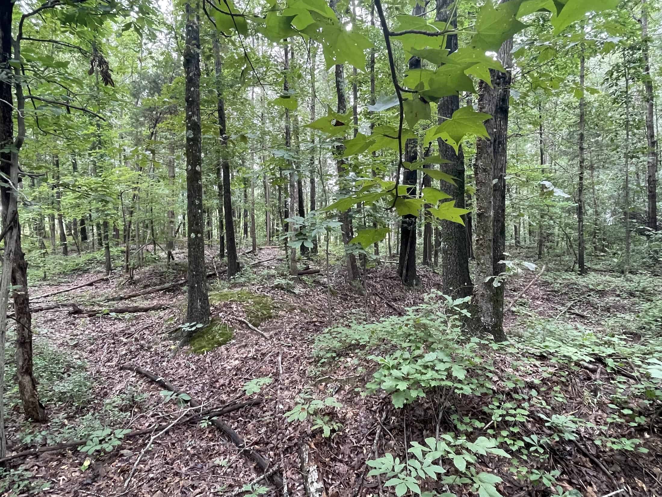
The conserved land will be added to the county’s adjacent 10-acre Ware Bottom Church Battlefield Park.
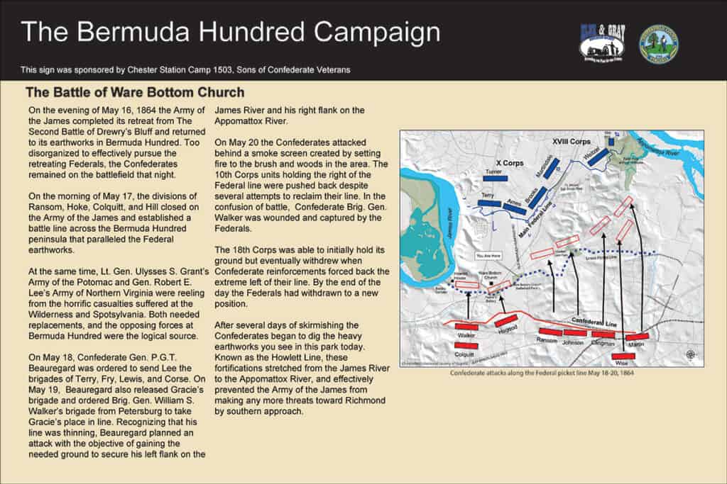
The parcel on Old Stage Road (VA Route 735) and Old Bermuda Hundred Road (VA Route 618) was recently purchased by the county with federal funding from the National Park Service’s Land and Water Conservation Fund – American Battlefield Protection Program (ABPP), seller donation and assistance from the American Battlefield Trust. The additional park land will help bring greater awareness of the Battle of Ware Bottom Church and provide additional greenspace in a rapidly growing area of the county.
Protecting the property in perpetuity with a conservation easement and providing public access are requirements of the federal funding.
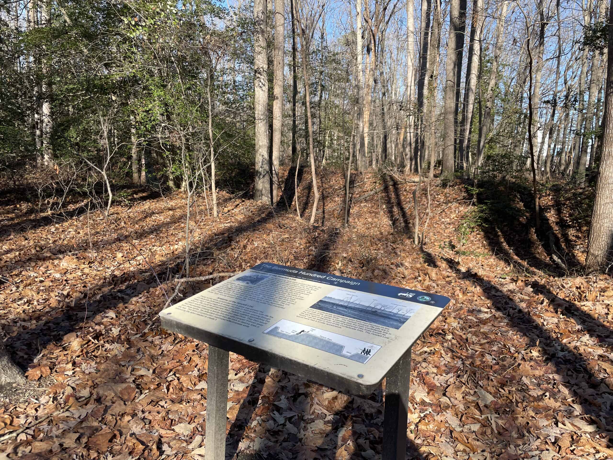
This easement is the final step towards Chesterfield County’s goal of protecting Ware Bottom Church Battlefield. The site and current park will promote awareness of the county’s history and attract cultural heritage tourism. It will also increase open space land for public access and climate resiliency in a community within a 10-minute walk of the property.
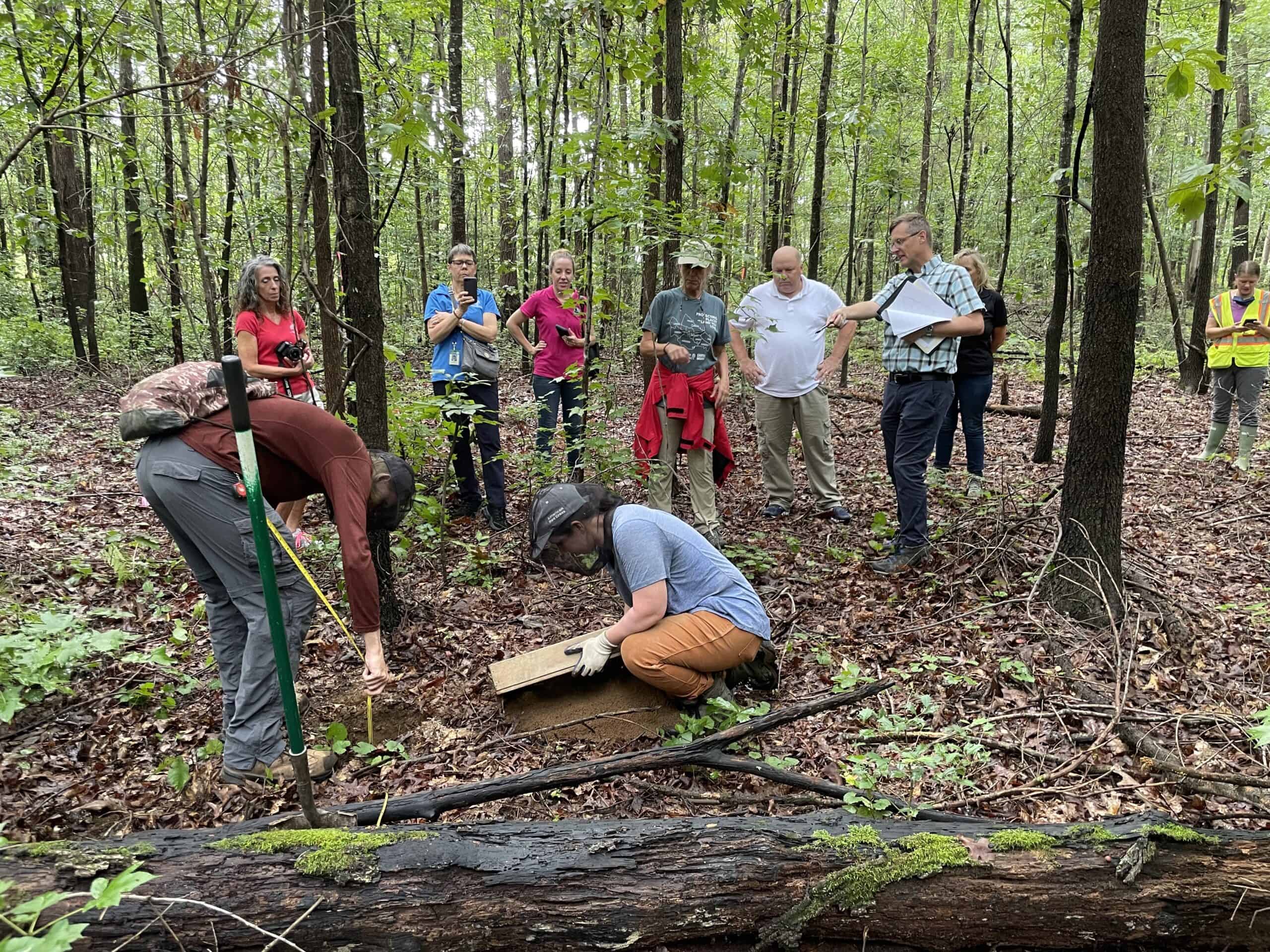
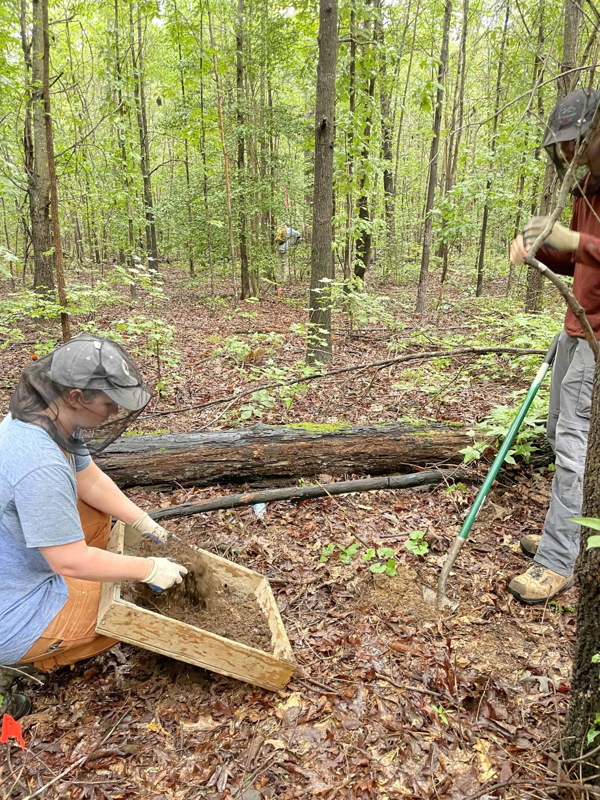
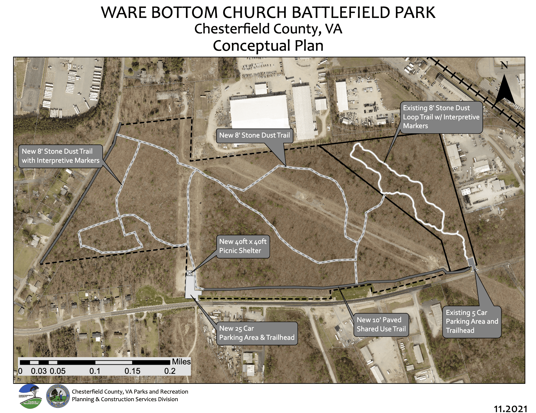 Chesterfield County Parks & Recreation’s conceptual plan to expand the park includes visitor amenities on the property, such as information kiosks, unpaved trails, a picnic or educational shelter, parking, and paved shared use path for cyclists and pedestrians along Old Stage and Old Bermuda Hundred Roads. Development plans will avoid site degradation, limit impervious surfaces, and promote historic resource and water quality protection. An archeological study has been completed for the development areas to confirm no impacts and inventory artifacts for historical interpretation.