Another major land acquisition along the James River has been successfully negotiated and completed by the Capital Region Land Conservancy. Approximately 4.5 acres of land between Interstate 95 and Ancarrow’s Landing has been purchased from Norfolk Southern and will go under the James River Park System conservation easement and transferred to the City of Richmond as part of the park.
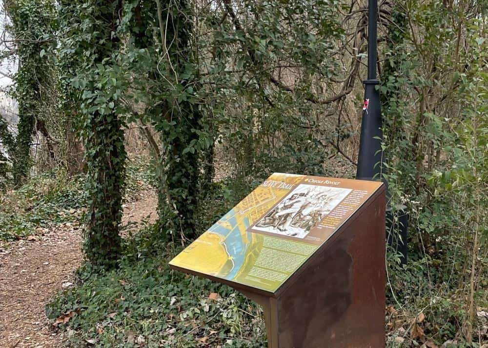
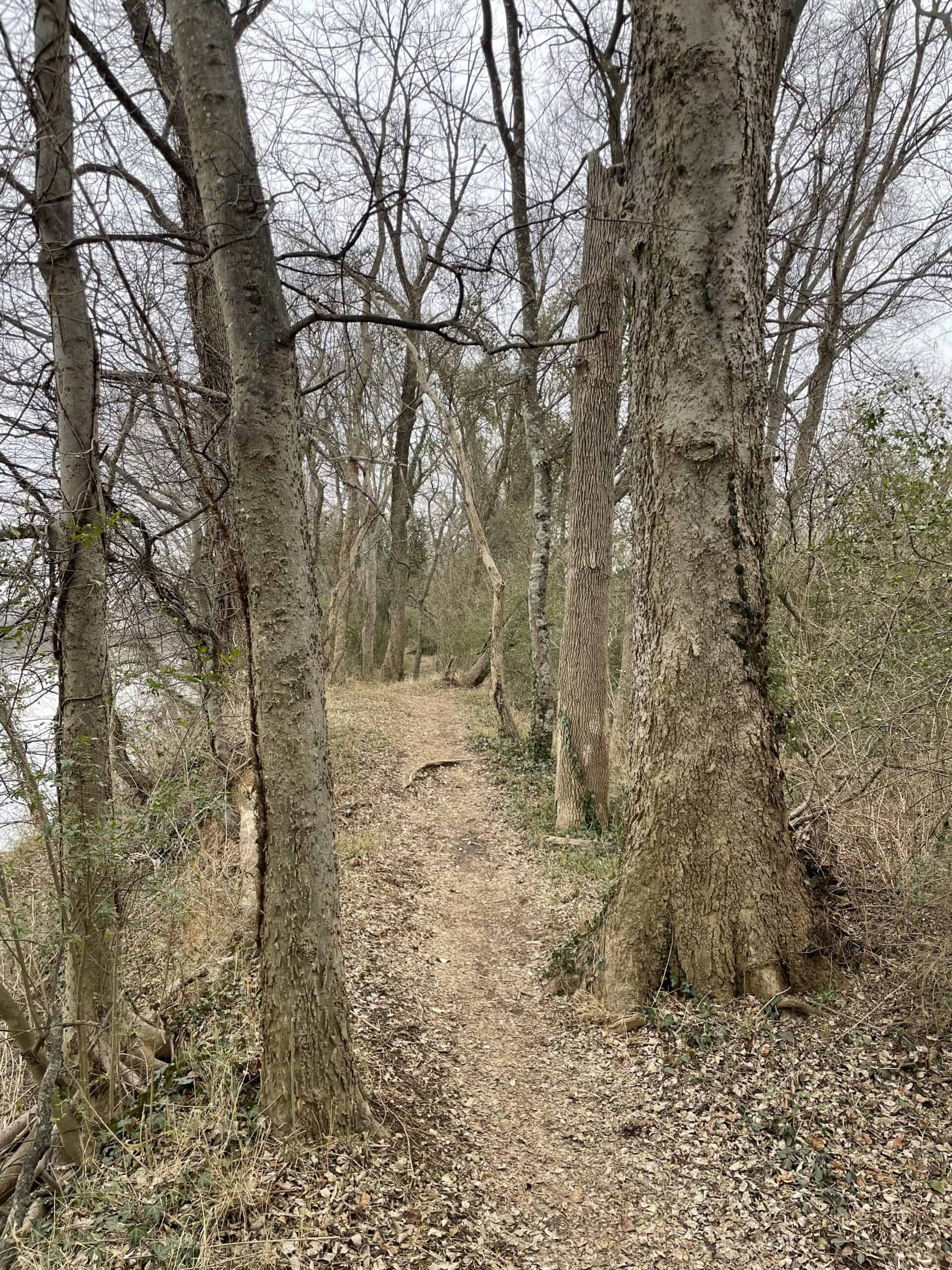
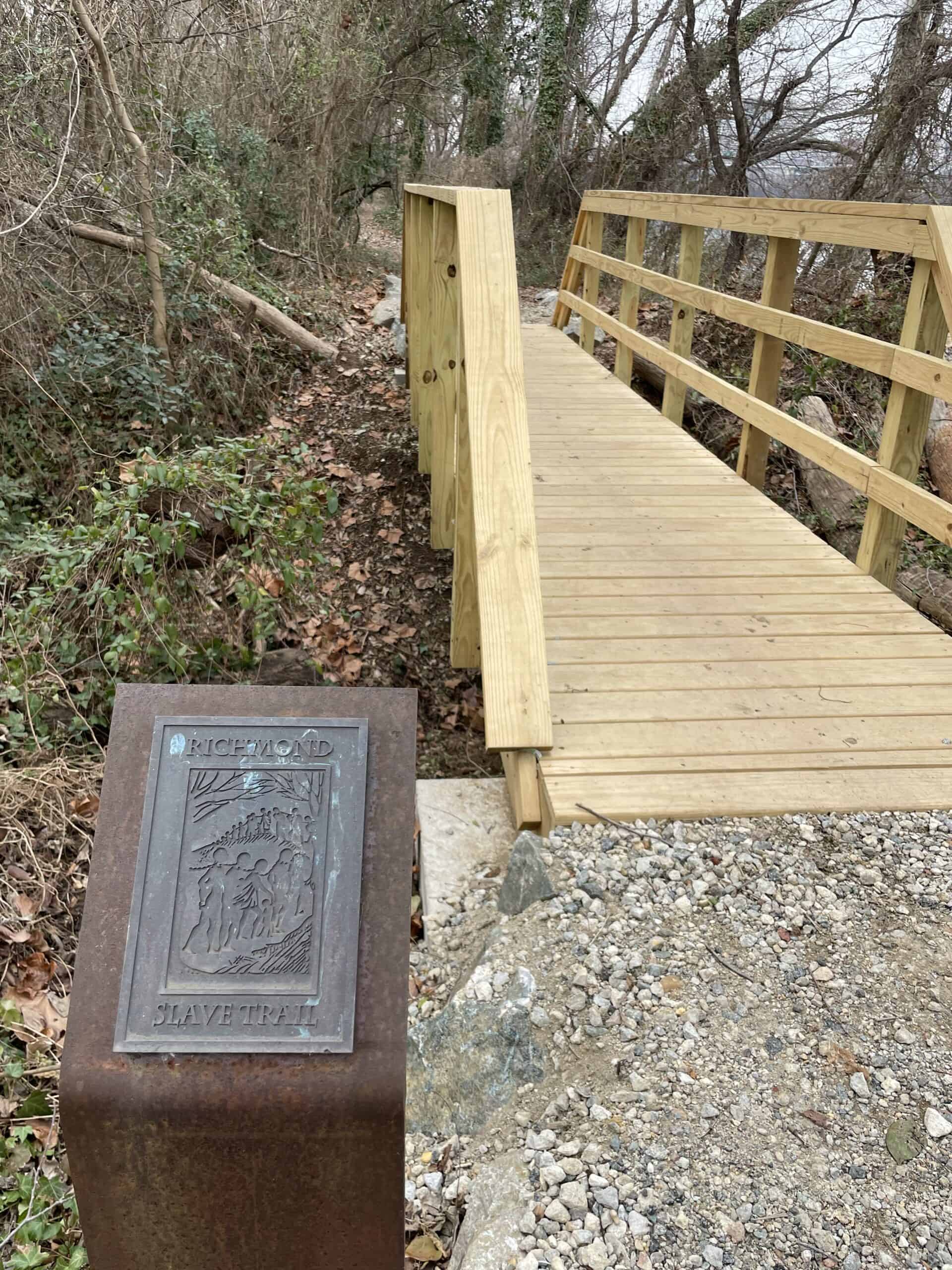
While no more than 130-feet wide and 2,300-feet long, the strip of property is an essential acquisition. With more than a quarter mile of frontage along the scenic James River adjacent to the Captain John Smith Chesapeake National Historic Trail and within the viewshed of Libby Hill Park and thus the “View that Named Richmond”, the property hosts a significant portion of the Richmond Slave Trail including one interpretive marker. This stretch of the trail was subject of photographer Dawoud Bey’s series “Stony the Road” recently on view at the Virginia Museum of Fine Arts.
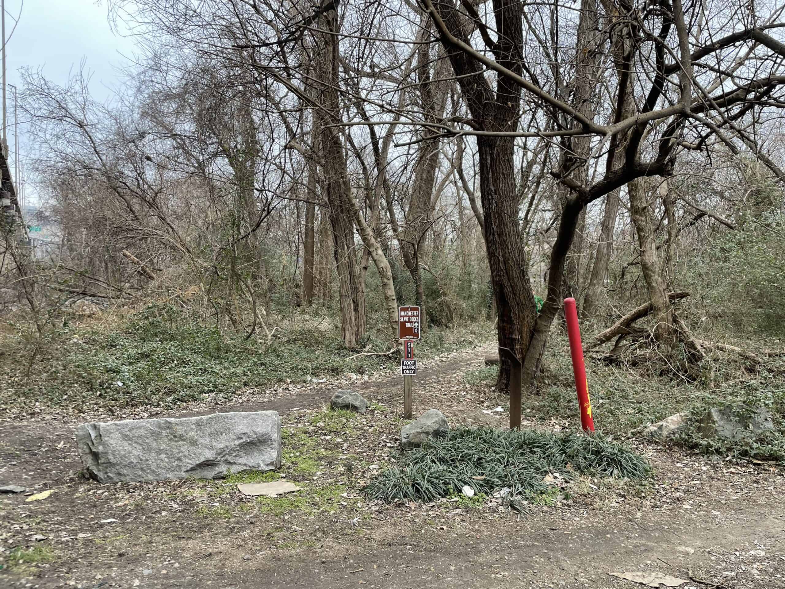
In 1998, Richmond City Council formed the Richmond Slave Trail Commission. Among other initiatives the Commission developed a nearly 3-mile path from the former docks in Manchester near Ancarrow’s Landing to Lumpkin’s Jail / Devil’s Half Acre in Shockoe Bottom. The trail was formally dedicated in 2011 with the unveiling of 17 markers that interpret the journey, human impact, and Richmond’s role in the tragic history of enslaved Africans.
“The pathway to establishing and revealing the tumultuous journey of those who were often in shackles and chains has come about as the result of committed stakeholders. These efforts to explore, research, and elevate the truth will enable generations of ancestors and visitors to participate in some valuable lessons that hopefully will ring about hope, healing, and reconciliation for a better tomorrow. The entities that have handily participated in the preservation of land for this project, we are ever so thankful. As we continue to write this history, it will take all voices to add volume in honor of those who have gone before us” said Del. Delores McQuinn.
When Richmond City Council adopted the Richmond Riverfront Plan in 2012, it acknowledged that approximately 2,000 linear feet of the Richmond Slave Trail crossed private land owned by Norfolk Southern. Through the ensuing decade visitors to the trail unknowingly trespassed on the railroad property because various maps showed the land as part of the James River Park System, when in fact it was not. In conjunction with its work to acquire Dock Street and Mayo Island, CRLC began discussions with Norfolk Southern to acquire the property.
Acquisition of this property will guarantee public access to this part of the Richmond Slave Trail is secured in perpetuity and that ownership of the property will go to the City of Richmond and officially be included in the James River Park System. A license agreement between CRLC and the City allows for continued public use until the property transfers as well as authority to maintain and make improvements to the Richmond Slave Trail interpretive marker and three pedestrian bridges.
“Since I took office in 2017, my administration has been working to tell the full story of Richmond’s complex history as the second largest domestic slave trade in the United States,” said Mayor Levar Stoney. “The acquisition of this land will allow the City of Richmond to properly memorialize those who came before us and provide Richmonders with more access to important green space.”
The acquisition is being supported by the Virginia Land Conservation Foundation with a $150,000 grant that requires a 1:1 match. The Friends of the James River Park System has committed $30,000 with its own challenge grant asking the public to contribute another $30,000 towards the purchase of this property. Donations toward the match can be made here.
“Friends of the James River Park is proud to be able to support the addition of this parcel to the JRPS. Expanding the JRPS is an important part of our mission, and opportunities to do so don’t come up very often,” said Josh Stutz, Executive Director of the Friends of the James River Park. “Helping to acquire this piece of land for the park was a priority for us because of the presence of the Slave Trail and the important stories that are being told here. We are grateful to the City of Richmond, Norfolk Southern, CRLC, and everyone else who helped make this happen”
Located at the falls of the James River and the confluence of the freshwater and the tidal portions that empty to the Chesapeake Bay and Atlantic Ocean, the property and its tree canopy serve as a buffer that naturally filters stormwater before entering the river. Such green infrastructures is an important ecosystem function that contributes to water quality for the source of our drinking water as well as the region’s greatest spawning area for anadromous fish such as the Atlantic sturgeon, American shad, herring, and striped bass.
Historically, the property served as important industrial infrastructure to the Manchester docks where enslaved Africans were transported and where the first rail line in Virginia operated. The Chesterfield Railroad Company opened in 1831 as a gravity track with a mule-powered tram to transport coal from the Midlothian Mines to the shipping docks for export. By 1835, annual exports were 140,000 tons of coal from the Richmond Basin. Norfolk Southern’s ownership of the property dates to 1849 through its predecessors Richmond and Danville Railroad Company (1847-1894) and Southern Railway Company (1894-1982).
“We are proud to continue our work with the City of Richmond in protecting the land that contributes to our cultural landscape and securing public access to outdoor places that we’ve grown accustomed to visiting,” said Parker C. Agelasto, Executive Director for Capital Region Land Conservancy. “It’s really about the public-private partnership and executing the blueprint that is outlined in the City’s comprehensive plan and small area plans like the Shockoe Project.”