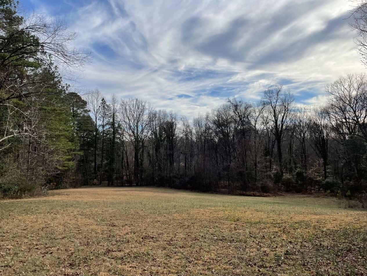
Conservation easements on approximately 10 acres in the City of Richmond adjacent to city-owned parkland near Walmsley Boulevard and Belmont Road are now protected and help make way for future public access. This effort will help fulfill one of the goals of the City of Richmond’s Master Plan, Richmond 300 by allowing for the alignment of a proposed greenway near Pocosham Creek. This connection will also help address equitable access to green space in a community that is currently underserved, according to the Trust for Public Land’s “ParkServe” 10-Minute Walk Model.
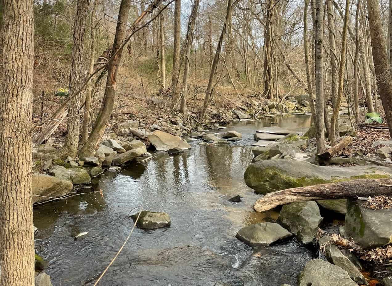
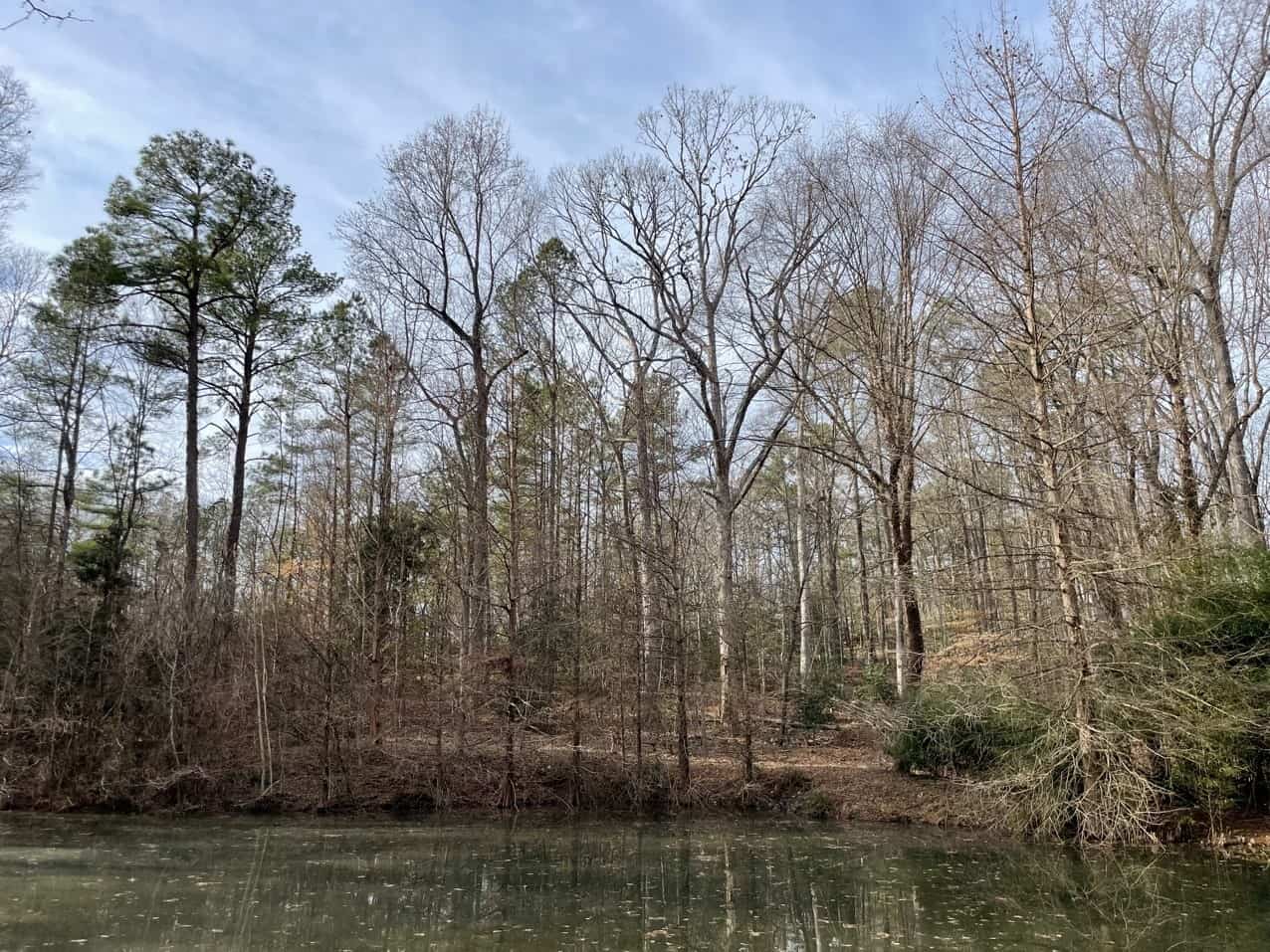
Providing a refuge for existing wildlife and connecting a relatively unobstructed corridor for their movement, this conserved land features hardwoods, pines, and cedars as well as a pond. Geo-spatial analysis offered through the Virginia Natural Land Assessment demonstrates the importance of the property for its Forest Conservation Values and Watershed Impact. Furthermore, the property lies within the Regulatory Floodway as designated on the 2023 National Flood Hazard Map and downstream from an area where the City of Richmond recently restored a 60-acre natural floodplain area. The 100-foot vegetated buffer on Pocosham Creek required by the easement will help to further minimize the negative effects of flooding and will also help maintain and improve its water quality before reaching Falling Creek and ultimately the James River and Chesapeake Bay.