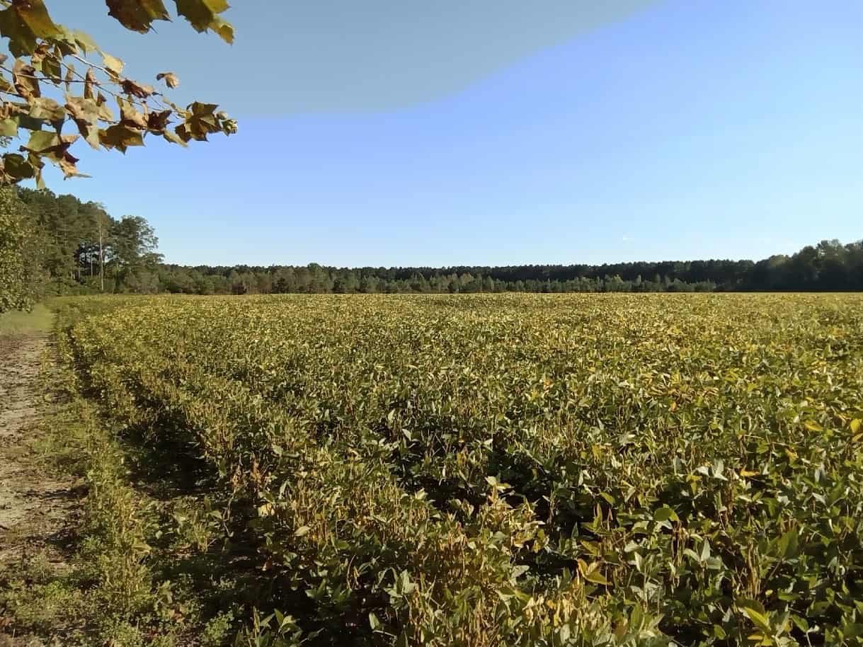
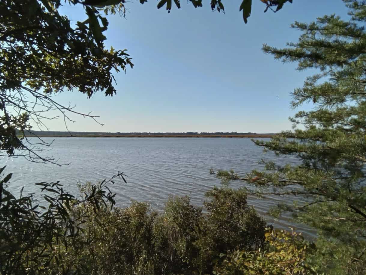
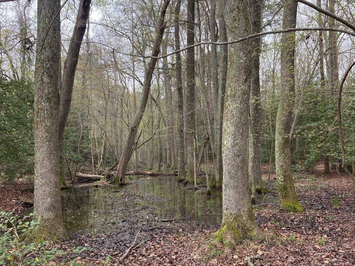
Located two miles west of West Point, where the confluence of the Pamunkey and Mattaponi Rivers form the York River, Eltham Farm contains over 1/3 of a mile of riverfront with forested bluffs overlooking the river with iconic views of tidal marshes to the north. The Coastal Plain property is mostly flat with 20 acres of farmland fields surrounded by 290 acres of pine forest. The Virginia Department of Conservation and Recreation’s, Virginia Natural Landscape Assessment Model, identifies much of the property as having “High” ecological integrity – meaning that in its natural undeveloped state it contributes to ecosystem services such as wildlife and plant habitat, biodiversity conservation, open space, recreation, and water resources protection.
It is believed that prior to the land patent granted to William Bassett (1630-1671) in 1647, which became the plantation known as “Eltham” named for the Bassett home in England, it was the site of the important Indian Village known as “Matchcot” and one of Powhatan’s chieftains. It was at “Matchcot” that the then-captive Pocahontas was visited by her brothers and reported to be well and intended to marry John Rolfe thus diffusing a clash between the Virginia Indians and English colonialists.