Historic Site on the Pamunkey River Permanently Protected
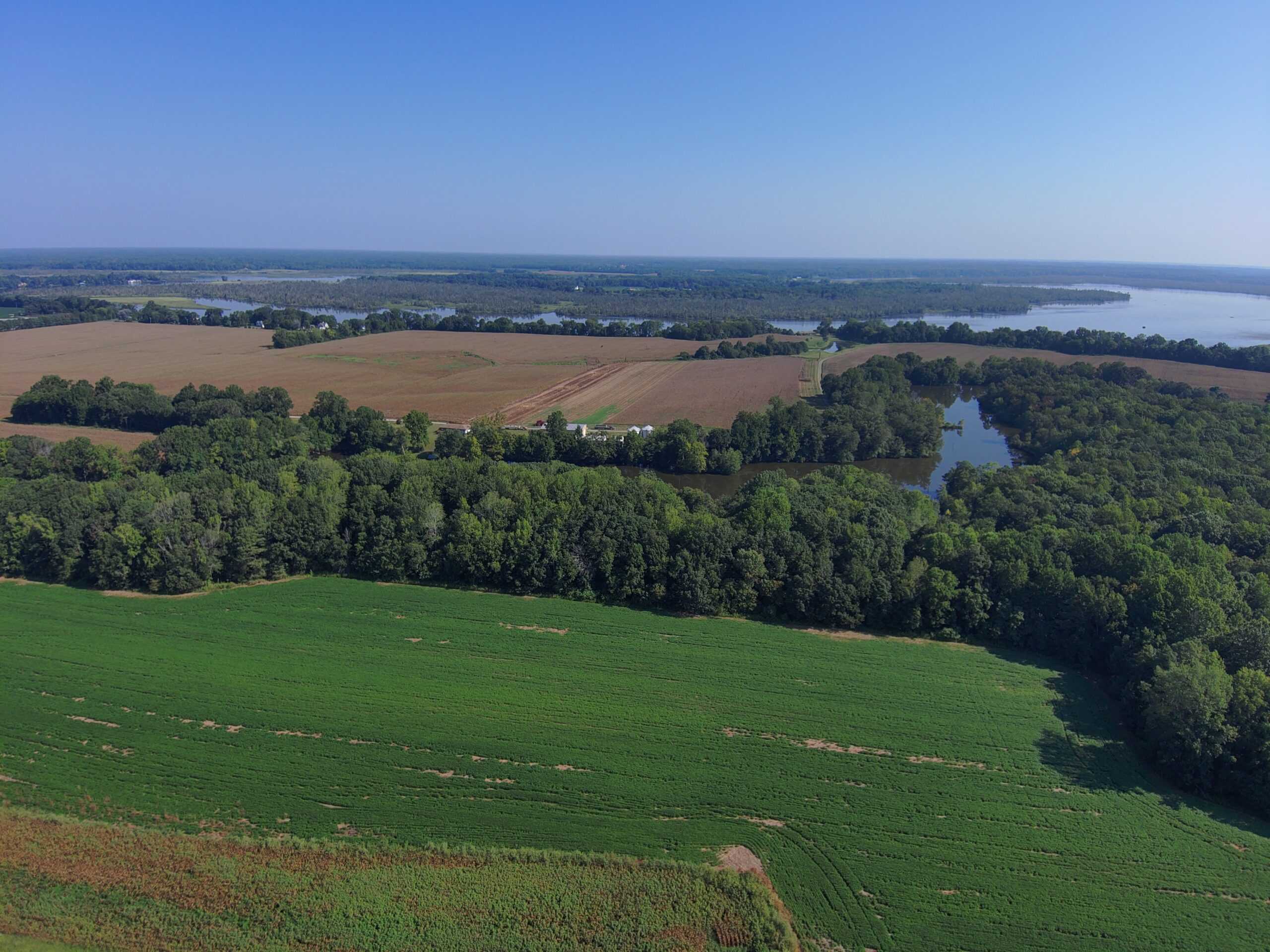
In the 18th century, a property known as Rockahock in New Kent County was part of more than 6,200 acres of land owned by John Custis (1678-1749) and passed to his son Daniel Parke Custis (1711-1757), which passed to his widow Martha Dandridge Custis (1731-1802) who was later married in 1759 to George Washington (1732-1799). The Washingtons referred to the notable property as “White House.” 568 acres of the historic property were permanently protected in November 2024 by a conservation easement held by Capital Region Land Conservancy.
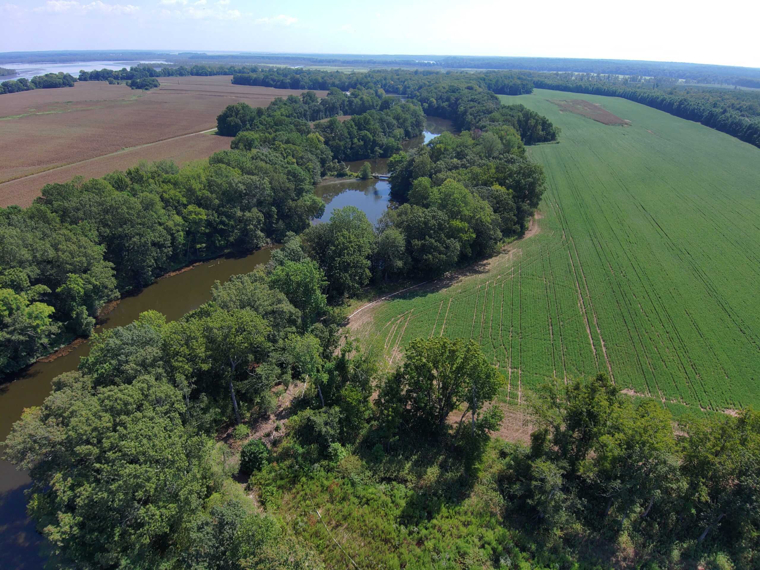
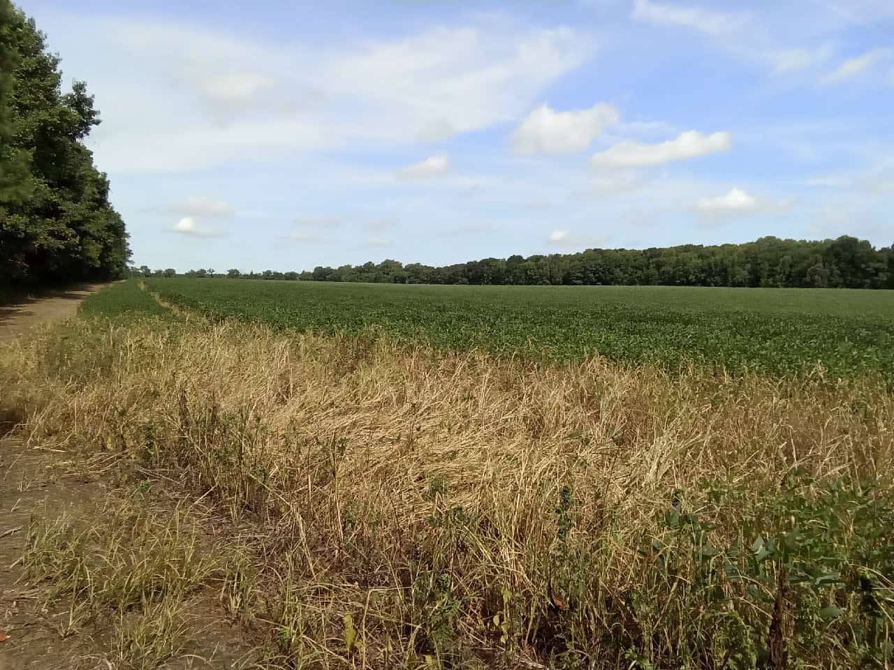
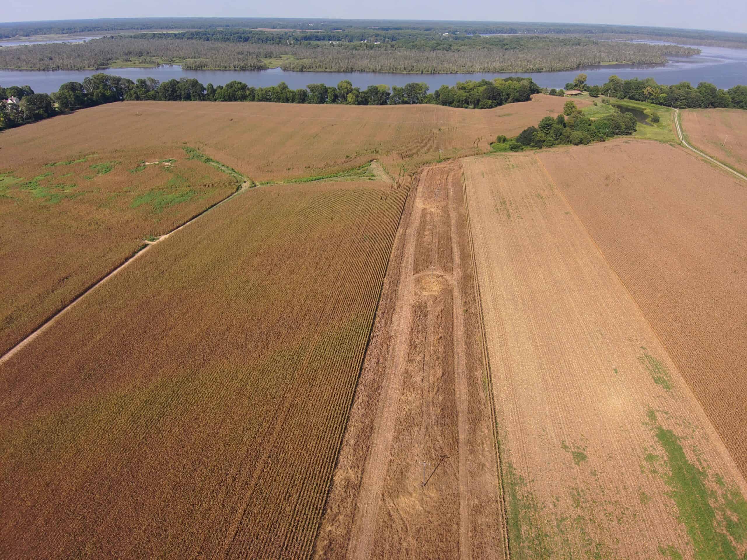
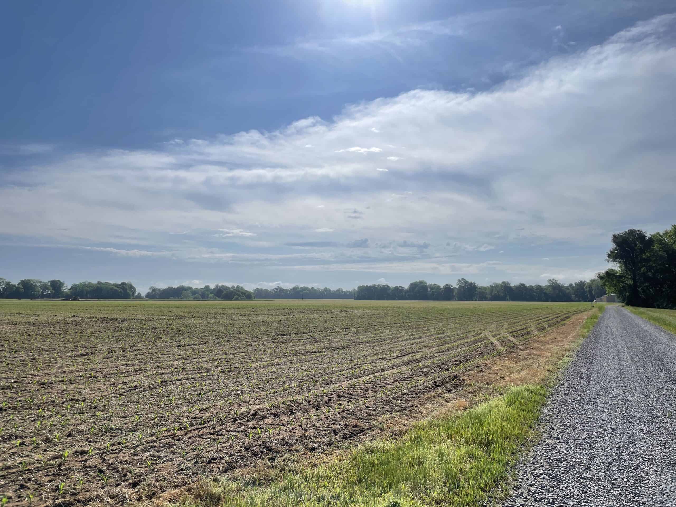
In addition to its remarkable historic significance, the Rockahock property contains approximately 362 acres of USDA designated Prime Soils, including 228 acres of Pamunkey Soil, which is the State Soil of Virginia. While remarkable for its agricultural farmland, conversion of the property was highly probable due to growth in New Kent County. The easement ensures farming will forever be part of the landscape at Rockahock as it has been for the past 350 years.
Its natural amenities also include more than 2.5 miles of frontage along the tidal Pamunkey River and its confluence with Saint Peter’s Creek and White House Creek. The river is classified as federal and state endangered waters for six anadromous fish species including the alewife, American shad, Atlantic sturgeon, blueback herring, and white perch. Along with 54-acres of wetlands, a dam creates a 37-acre pond, that provides irrigation to the agricultural fields.
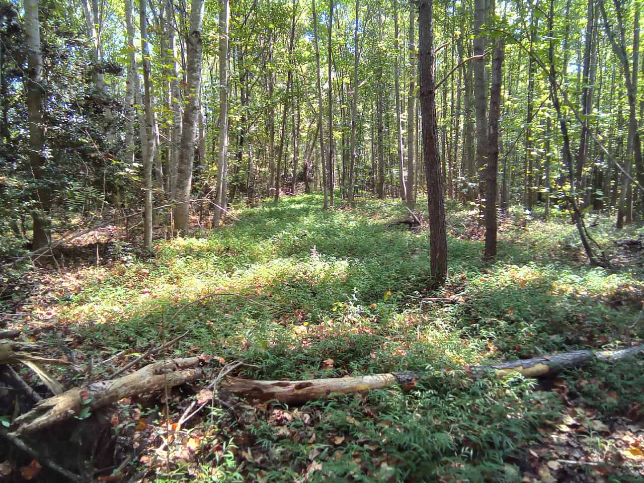
ConserveVirginia 3.0 ranks Rockahock within the Top 10 Percent of land across Virginia to be conserved and specifically cites its priority in the Floodplains & Flooding Resilience Category, as well as Protected Landscapes Resilience, Scenic Preservation, and Natural Habitat and Ecosystem Diversity. Rockahock is located in the Mattaponi and Pamunkey Rivers Important Bird Area, and a significant portion of the property is within the Cumberland Marsh – Chamberlayne Point Conservation Site with its Tidal Freshwater Marsh (Wild Rice – Mixed Forbs Type) natural community. With nearby Pamunkey Indian Reservation and Cumberland Marsh Natural area Preserve, the property contributes to an outstanding ecological core and the Natural Land Network of connected wildlife corridors.